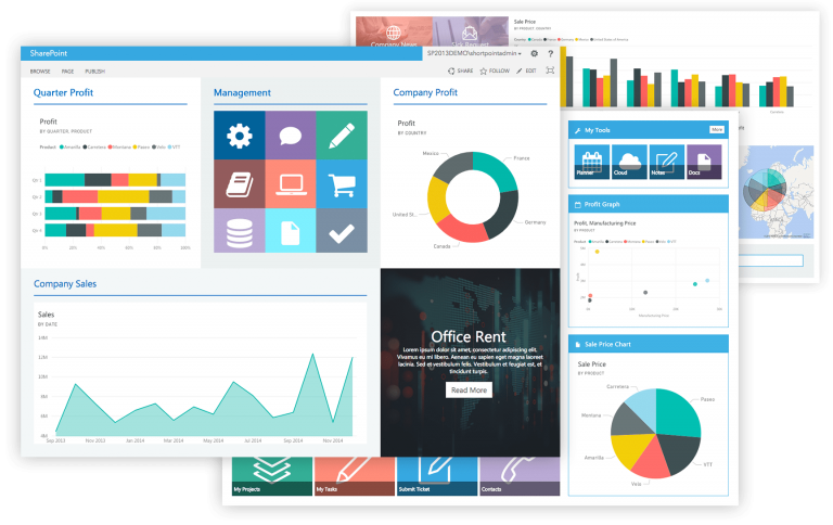
Company Overview: VFR, with a focus on adhering to PMBOK standards in project management, is currently engaged in modeling and automating project management processes within the framework of process automation and business intelligence. The development of hardware and new software, along with widespread internet access, has paved the way for process automation. Reports are available online and accessible via computers or mobile devices (when connected to the internet). The collection of organizational data and its analysis is carried out in the form of business intelligence. Powerful Tools: Utilizing robust tools, various management reports can be generated from different databases, including SQL, Analysis Service, Oracle, DB2, Salesforce, Access, MySQL, SharePoint, and more. These reports can be sourced from various organizational units, including central offices, branches, and workshops, to support production and presentation within the organization
Drones in Filming and Photography for Project Documentation and Progress Control
- Aerial Filming and Photography:
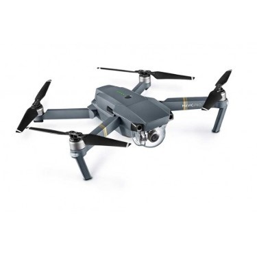
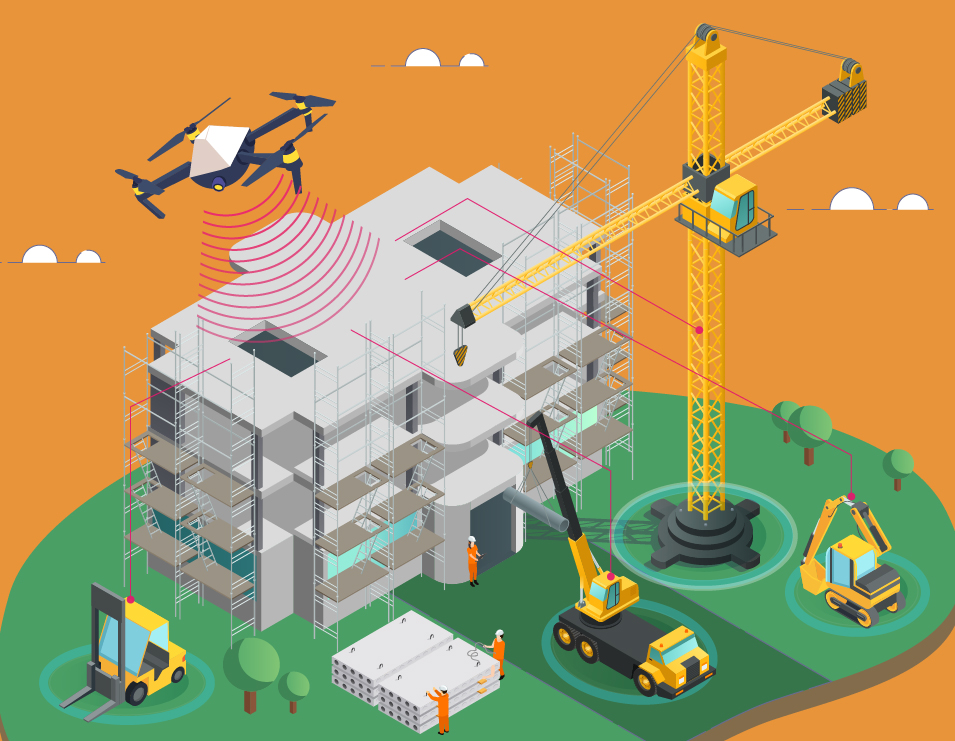
- Drones are used to capture high-quality aerial footage and images of construction projects.
- This documentation serves the purpose of both recording project milestones and monitoring progress.
- Quality Inspection and Safety:
- Drones play a crucial role in quality inspections and safety assessments, especially in areas that are difficult to access or located at a distance.
- They provide visual data for assessing the quality of work and ensuring safety compliance.
- Image Analysis Software:
- Drone-captured aerial images can be processed using specialized image analysis software.
- These tools convert the images into Point Cloud models, which can then be further transformed into detailed 3D computer models.
- Virtual Reality (VR):
- Combining 3D models with suitable hardware, such as VR headsets, allows for virtual simulation and visualization of project designs and execution.
- VR can be used for precise project presentations, training, and assessing the impact of various factors.
- Augmented Reality (AR):
- AR, another application of drones, enhances project-related experiences.
- By having a 3D model of the project along with comprehensive details, AR software seamlessly integrates virtual and real-world elements.
For instance, 2D maps can be transformed into 3D maps when viewed through a tablet or mobile phone, providing a detailed visual representation.